Guaranteed Higher Grade!
Free Quote

One of the reasons the provincial government is so keen on this project is that they claim there will be congestion reduction, and other economic benefits. One of the ways economic benefits derive from transport systems centres on how transport systems enhance the accessibility of places, i.e., increasing the potential for people to reach destinations in a shorter period of time. You will explore how the Bradford Bypass project changes accessibility patterns in the region around the bypass.

Figure 1: Bradford Bypass Project.
(https://www.openstreetmap.org/#map=8/44.116/-78.772&layers=T)
(https://www.bradfordbypass.ca/)
(https://www.greenbelt.ca/)
In this assignment you will continue to develop your GIS for transportation analysis skills using QGIS and some of it's plugins that enable network analysis. You are also going to be challenged to locate, assemble, process, develop and analyse spatial data to develop the information necessary to answer the assignment questions.
In this assignment you will use a few QGIS plugins, plugins extend the capabilities of QGIS in very specific ways. You will likely make use of the ORS Tools and QuickOSM plugins. You can also complete the accessibility analysis using the TravelTime platform Plugin if you want to, or use it to support the development of your response to question 7 below. ORS Tools and the TravelTime platform Plugins extend the functionality of QGIS to enable network analysis focused on the implementation of shortest path algorithms to generate routes, service areas, isochrone maps/polygons. The QuickOSM plugin enables the query and extraction of vector data from the OpenStreetMap environment.
What is a software token and how are tokens used in this assignment? [4 sentence max]
List and discuss any limitations (conceptual or otherwise) with the drive-time isochrone approach to accessibility modelling you've used in this assignment [1 page double-spaced max]
Conduct an isochrone study of the highway system that shows the before and after impacts of the introduction of all of the proposed interchanges (circles drawn with hatched lines in Figure 1 above) associated with the Bradford Bypass development project. It is entirely up to you to decide what to include in your “before†analysis. Your post-construction (after) analysis must include all proposed highway interchanges. Isochrones can be produced at various driving intervals, i.e., every 5, 10, 15, 20 minutes. It is up to you to decide on your minimum, maximum values and any intervals in between. In the example I've given, 5 minutes is the minimum, 20 minutes the maximum, and 5 minutes is the interval. [this is incorporated in Q.4-6. below]
What values did you use for your isochrone min,max,interval, and why did you choose these values? [5 sentence max]
Create a finished map of your isochrone study. You might find that the best possible way to clearly portray your analysis is by organizing your maps into panels on a single page, or by using multiple maps across several pages - the choice is yours to make. Make sure you include the cartographic elements we would expect to see on a map (e.g., title, scale, north arrow, legend, data source, projection/coordinate system info. etc.). Export your print layout and include it in your report submission.
Based on your analysis, what is your conclusion regarding the possibility that a completed Bradford Bypass might place development pressure on the protected areas of the Greenbelt, and what evidence do you have to support your conclusion? The best answers to this question will involve additional spatial analysis that considers the relationship between your isochrone study and the Greenbelt. We will not tell you what to do, be thoughtful, and creative. Any additional analysis you produce must be included in your report, feel free to us maps, graphs, figures, and additional text to describe what you did, why you did, and what you found. [ a written response, additional GIS analysis]
 100+ Accounting Dissertation Topics for Students
Narrowing down the right dissertation topic from a broad field like accounting can be a challenging
 100+ Unique Statistics Project Ideas for Students
Statistics is the science of collecting, analyzing, and interpreting data. Whether you’re in high
 Informative Essay Topics - Latest Writing Ideas for Your Paper
Have you found yourself struggling to gather interesting ideas for an informative essay? The pressu
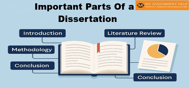 Important Part of Dissertation
Get Writing Help On Every Important Part Of Dissertation. Did you miss an important part of