Guaranteed Higher Grade!
Free Quote

Aim:
To create a “File Geodatabase” (.GDB) in ArcGIS, containing datasets, which would be of interest for a study examining the accessibility of bank branches on the Isle of Wight.
Provided data:
The following two datasets are contained in “CW2_Datasets_2021.zip”, which must be downloaded from the UoL Blackboard website for this module.
|
Dataset |
Required actions |
|
Bank branch locations (from Practical 5) |
Import and create four spatial feature layers: · All bank branches open in 2014 · All bank branches open in 2019 · Bank branches from 2014, that are closed in 2019 · Bank branches from 2019, that were not open in 2014 (i.e. New branches) |
|
OFCOM Broadband Speeds, by postcode (2014) www.ofcom.org.uk/research-and-data/multi- sector-research/infrastructure- research/infrastructure-2014 |
Project the postcodes with internet records and save as a point’s feature layer. Then create two 50m raster surfaces, clipped to the islands extent, showing the % of households with: · Inadequate internet access (<2 mbps). · Poor internet access (<10 mbps). Please note the number of search points used by the IDW model, and the power function value. |
Aim:
To create a series of metadata summary tables recording the contents of your ArcGIS File Geodatabase (.GDB), documenting how the data was accessed, in addition to any data processing steps that were conducted.
To achieve this, please complete a one-page word document called “Metadata_Tables.docx”, which is contained in “CW2_Datasets_2021.zip”.
The student is required to undertake GIS-based analysis using the geodatabase produced for Coursework 2, in order to determine if bank branch closures have reduced the accessibility of financial services on the Isle of Wight. This should be achieved by:
1.Calculating the proportion of residents in 2014 and 2019 that live within an ‘acceptable’ distance to an open bank branch (note: car ownership cannot be assumed, and a high proportion of island residents favour environmentally friendly modes of transportation);
2.Identifying communities and demographic groups who live beyond an acceptable travel distance, commenting on whether differences in access are linked to inequalities in society.
3.Consideration should be made to how internet banking has replaced the need for physical bank branches. However, this is only viable where sufficient broadband infrastructure exists, and not all members of society are willing to use online banking.
 100+ Accounting Dissertation Topics for Students
Narrowing down the right dissertation topic from a broad field like accounting can be a challenging
 100+ Unique Statistics Project Ideas for Students
Statistics is the science of collecting, analyzing, and interpreting data. Whether you’re in high
 Informative Essay Topics - Latest Writing Ideas for Your Paper
Have you found yourself struggling to gather interesting ideas for an informative essay? The pressu
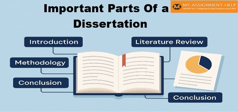 Important Part of Dissertation
Get Writing Help On Every Important Part Of Dissertation. Did you miss an important part of